Understand India Instead of Just Memorising Facts
Why are the Northern Plains so densely populated?
Why does western Rajasthan receive little rainfall?
Why do the Western Ghats receive heavy monsoon rain?
Why is black soil closely associated with cotton?
Why do many Peninsular rivers flow toward the Bay of Bengal?
Why are valleys so important for settlement in North-East India?
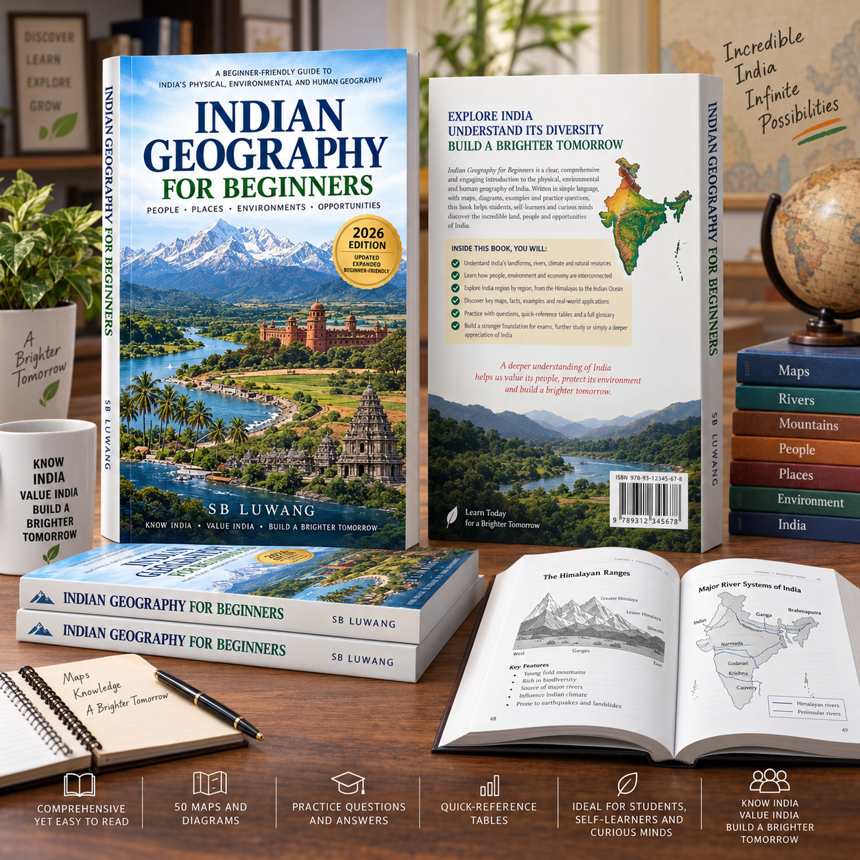
Indian Geography for Beginners answers these questions through simple explanations, visual diagrams and cause-and-effect learning.
Instead of presenting geography as a long list of mountains, rivers, states and crops to memorise, the book follows a simple learning method:
Where is it? → What is it like? → Why is it like that? → How does it affect people?
What You Will Learn
The book covers:
- Geography and basic map-reading skills
- India’s location and administrative geography
- The Himalayas
- Northern Plains
- Peninsular Plateau
- Thar Desert
- Coastal Plains and Islands
- Indus, Ganga and Brahmaputra river systems
- Major Peninsular rivers
- Lakes, wetlands and groundwater
- Weather and climate
- The Indian monsoon
- Rainfall distribution
- Major soil types
- Natural vegetation and wildlife
- Minerals and energy resources
- Agriculture and cropping seasons
- Major crops of India
- Industries
- Roads, railways, ports and communication
- Population and migration
- Villages, towns and cities
- Northern India
- Western India
- Central India
- Southern India
- Eastern India
- North-East India
- Natural hazards
- Floods, droughts, cyclones and landslides
- Environmental challenges
- Climate change and India
- Map-reading practice
- Revision and examination questions
Special Focus on North-East India
Unlike many introductory geography books, this edition gives substantial attention to North-East India.
Topics include:
- Brahmaputra Valley
- Barak Valley
- Eastern Himalayas
- Meghalaya Plateau
- Naga, Patkai and Mizo hill systems
- Manipur Valley
- Loktak Lake
- Forests and biodiversity
- Assam tea
- Bamboo resources
- Transport challenges
- Floods
- Landslides
- Earthquake risk
- Siliguri Corridor
Designed for Easy Learning
Every chapter uses a consistent learning system.
Geography Made Simple
Complex concepts explained in straightforward language.
Connect the Dots
Visual cause-and-effect relationships that help learners understand how geographical systems work.
Think Like a Geographer
Questions that develop reasoning rather than rote memorisation.
Quick Recap
Important concepts summarised at the end of each chapter.
Check Your Understanding
Questions for immediate self-assessment.
Map Practice
Structured exercises to develop spatial memory.
Practice and Revision Material
The final section contains extensive revision resources including:
- 25 structured map exercises
- 100 essential Indian geography facts
- 50 multiple-choice questions
- 30 true-or-false questions
- 25 fill-in-the-blank questions
- 25 short-answer questions
- 15 explain-why questions
- 20 map-based exercises
- Answers and explanations
- Geography glossary
- State and Union Territory reference tables
- River reference tables
- Mountain and plateau reference
- Soil and crop reference
- Hazard reference
- Final study checklist


Reviews
There are no reviews yet.